
Chesterfield Neighbors by Block Record
Public sources describe a block in layers. A map locates lots. The assessment application ties each lot to a public owner and tax-mailing record. The Clerk’s index records transactions by party name, while permits and code cases can show address-based activity. A resident can be absent from all of those results. The best approach is to identify the record’s subject before deciding whether it is relevant to people near a Chesterfield address.
| Block source | What it can show | Access path |
|---|---|---|
| Parcel Viewer | Adjacent boundaries, subdivision, school, and political-district context | Free county map |
| READ assessment record | Public owner, situs, mailing, building, and history clues for one parcel | Free county application |
| Clerk land index | Grantors, grantees, recorded instruments, and liens in a parcel’s chain | Name index online for deeds from 1967; earlier Record Room material |
| ELM permits and concerns | Address-based project, inspection, or concern status where public | County portal and reports |
| Community associations | Public board contacts, events, covenants, or meeting material | Association site or contact; member rosters are generally private |
| Historic directories | Past address occupants where a reverse section exists | Central Library or archive access; exact local runs need confirmation |
Owners and occupants are not interchangeable. A mailing address might belong to an owner elsewhere, a business, or a tax representative. A parcel does not enumerate renters, relatives, visitors, or other people present at the address. For a historic address trail rather than an immediate block, the parcel and grantor-grantee process belongs in the Chesterfield street directory.
Map Chesterfield Neighbors by Parcel
The county’s parcel map is the first stop for a small block question. It shows parcel geometry, subdivisions, schools, and political districts. The county does not document a named adjacency or buffer feature, so use the visible parcel boundaries and selected-parcel popups rather than assuming an undisclosed radius search. GIS establishes geographic context. It is not a title document, and the recorded plat held by the Circuit Clerk remains the official land document.
- Enter the target address in the Chesterfield Parcel Viewer, then select the parcel polygon or popup.
- Keep the parcel layer visible, zoom until nearby lot lines and streets are legible, and note each side, rear, or front parcel separately.
- Open each parcel in Chesterfield READ to compare the situs, owner, mailing address, subdivision, and parcel identifier.
- For a recorded ownership change, search the owner name in the Clerk’s land index and confirm the legal description in the document or Record Room copy.
A useful note for each parcel is its tax ID, situs, owner name, and relationship to the starting lot. Do not copy a mailing address into an assumption that the owner is a current occupant. For the full named-street sequence, use the linked Chesterfield street directory rather than treating a few adjacent parcels as the whole street.
Chesterfield Block Map Layers
Parcel boundaries are only one local layer. The county GIS hub also provides context for subdivisions, schools, political districts, planning, land use, hydrography, historic landmarks, and public-safety data. Turn a layer on to understand a block’s setting, then turn it off when it obscures the parcels. Flood, zoning, and school layers can explain geography, but none of them identifies a household or changes recorded title.
The Chesterfield GIS hub links to the map applications and open data. Use a recorded plat from the Clerk for a conveyance question. The county warns that its map is not for land conveyance, so an on-screen boundary should always be treated as an orientation tool.
Note: A block map can show nearby parcels clearly while still leaving the people who occupy them unknown.
Chesterfield Community Associations
Association material is a community layer, not a public resident directory. The county’s Revitalize Our Communities Committee connects community, faith, association, and Neighborhood Watch participants, but no public member roster was published. The following Chesterfield organizations had public activity, board, covenant, or contact information in the research. Their membership lists should remain permission-based.
| Association or group | Publicly described connection |
|---|---|
| Powderham Neighborhood Association | Midlothian community with events, welcome baskets, a watch program, and member information |
| Smoketree Association | North Chesterfield community with board contacts, neighborhood watch, pool, and clubhouse activity |
| Queensmill Civic Association | Membership and bylaws emphasizing communication, safety, and recreation |
| Carter’s Mill East HOA | Board, committees, meeting documents, covenants, and a plat map |
| Foxcroft HOA | Committee and contact material for standards, landscape, watch, pool, and social activity |
Contact a board or community program about public events, covenants, or a neighborhood concern. Do not expect a resident list, and do not treat an organization’s contact point as evidence that a named person lives on a block.
Chesterfield Voter Block Limits
The Virginia Citizen Portal checks one voter’s registration status, polling place, and participation history. It is not a public block browser. Virginia public voter lists can include name, residence address unless protected, year of birth, gender, and election districts, but they exclude Social Security numbers, day and month of birth, and protected addresses. Virginia also does not register voters by party, and participation does not reveal a ballot choice.
A full list is a separate state request product with authorized uses and a responsibility statement. The Chesterfield General Registrar is the local office for election administration, while the state portal handles status and polling context. Protected voters may use a Virginia post-office address, so an omitted physical address is not evidence that a person has left the area.
Chesterfield Animal Registry Layer
Chesterfield added a narrow public Felony Animal Cruelty Registry in 2026. It is separate from the ordinary court search and the statewide registry. The county table covers qualifying felony convictions with offense dates from 2009 forward and displays a defendant’s name, address at the time of conviction, conviction date, and offense. Reduced felony charges that became misdemeanors are excluded. The county describes a removal route after 15 years under stated conditions.
Open the official Chesterfield animal-cruelty registry for its current scope and notices.
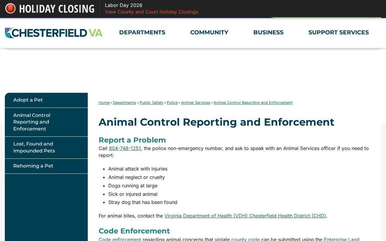
This is a limited conviction record, not a block roster or a prediction about anyone’s current conduct.
Chesterfield Registry Search Limits
The Virginia State Police Sex Offender and Crimes Against Minors Registry permits name, ZIP, address or radius, county or city, and map searches. It is a statewide registry tool, not a general people finder. A result may show the fields posted under the registry law, but the registry states it is not a risk assessment. A search result must be read with the statutory notices and never used to threaten, watch, or harass a person.
Use the Virginia State Police registry search only for its published public-safety purpose and conditions.
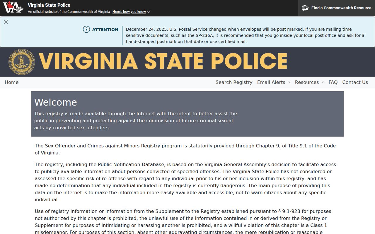
The address and radius choices are limited to the registry’s own records and do not create a general list of Chesterfield neighbors.
Compare Chesterfield Block Tools
Official records and commercial compiled-data tools have different strengths and limits. A commercial category may combine public filings, historical addresses, and marketing data, but those entries can be stale or merge people with the same name. The county or state custodian is the place to verify a parcel, court entry, voter rule, or registry record.
| Official source | Commercial compiled-data category |
|---|---|
| Shows a defined record, its custodian, and the access limits for that record type | May combine different sources with uneven dates and matching rules |
| Lets the reader inspect parcel, court, registry, or association context directly | Can omit the source detail needed to check a name or address |
| Provides a correction path through the office that created the record | May require a separate privacy request that does not change the source record |
Privacy Limits for Chesterfield Neighbors
Public parcel ownership does not reveal every local occupant. Renters, household members, utility customers, delivery information, and private association rosters are not general public block rolls. Virginia’s Address Confidentiality Program supplies eligible participants with a substitute address, and protected voters may use a Virginia post-office address in public voter material. Do not republish a protected address or infer a household from parcel information.
Virginia law does not permit surveillance, intimidation, or unwanted contact because a name or address appears in an index. A public record can be corrected only through the office that created it. Ask the County’s assessment staff about an assessment record, the Registrar about voter data, or the Clerk about a recorded-document index issue.
Records also change on different schedules. A recorded deed, assessment entry, and map popup can update at different times, so a change in one source is a prompt to verify the others, not a reason to identify a new household. A community board, school district, or subdivision label may provide useful context for a local block, but it cannot supply a private member list. Keep the parcel, source date, and question together in your notes so that a historical result is not mistaken for a current one.
Virginia’s privacy rules also limit the apparent gaps in a block search. A protected voter can use a substitute post-office address, and an Address Confidentiality Program participant’s actual location is confidential to the program and law enforcement for limited purposes. An absent result may therefore reflect a legal safeguard, a restricted record, or a different custodian rather than a conclusion about a particular person.
Lawful use. Chesterfield block records support personal, lawful research and community awareness. Using public information to stalk, harass, intimidate, or harm another person is prohibited under Virginia law.